TODAY'S HIGHLIGHTS
Current conditions at the Metropolitan area of Monterrey are really chilly and damp with realfeel temps below freezing and temperatures fluctuating between 35-38°F. At the previous post you can observe some freezing rain and icing at the Sierra de Santiago which is located 15 miles southwest of the city and around 6,000 feet above sea level. Steady drizzle all day long has fallen and continues to fall. Already some sleet and snow reports have appeared at the mountainous range at Central Coahuila (around 300 km due northeast of the city).
WHAT TO EXPECT?
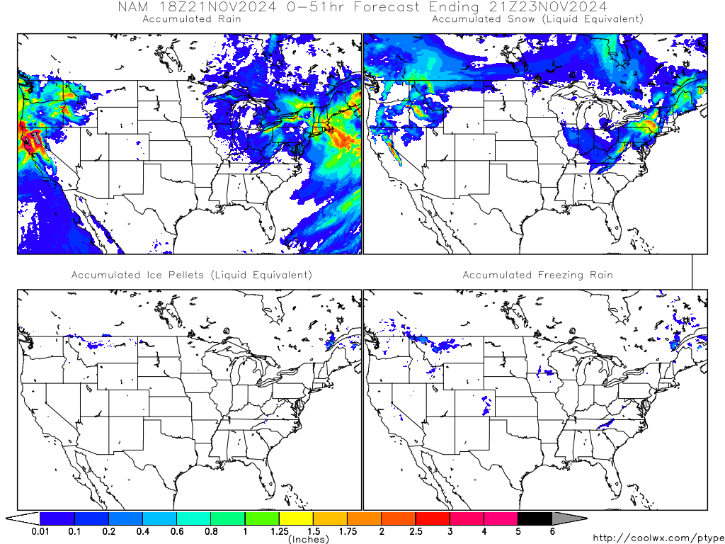
NAM keeps calling for some freezing rain and even some snow for suburban areas around the city and the mountains. Expect near or sub-freezing temps at late evening and throughout the night.
Tommorrow stays again chilly and damp with temps oscillating between low 30s and low 40s. Throughout the region expect freezes and hard freezes for Coahuila, Nuevo Leon and the Tamaulipas Valley near Lower Rio Grande Valley. Friday remains damp too, however a slight recovery at temps is expected with lows in the 40s and highs struggling to reach high 50s across the region. Rain conditions might continue throughout the weekend but expected a noticeable recovery by sunday once the moisture from the gulf and a developing storm in the northern Gulf of Mexico passes by.
INTERNATIONAL LATEST
**NEW ENGLAND HIT BY A BLIZZARD **
MORE THAN 2 FEET OF SNOW WERE REPORTED AT NEW HAVEN AND THE CONNECTICUT AREA, NEARING 30 IN. IN SOME LOCAL SPOTS. THE SWEET SPOT THAT I MENTION DAYS AGO OF WERE THE REAL JUICE OF THIS STORM WOULD BE SEEMS TO FIT PROPERLY TO REALITY.
SOME REPORTS GO AS FOLLOWS FROM NOAA AT CONNECTICUT
FOLLOW THIS GREAT VID FROM STORMTOPIA.COM
FOR MORE KEEP AN EYE ON THE NORTHEAST QUADRANT
**AUSTRALIAN CATASTROPHIC FLOOD**
THE AUSTRALIAN CATASTROPHIC FLOOD AT QUEENSLAND KEEPS ON AND EXTREME DAMAGE HAS BEEN MADE TO AUSTRALIA'S THIRD LARGEST CITY BRISBANE. NEAR RECORD FLOOD STAGE CONDITIONS WERE REPORTED AS SAME AS HEAVY DAMAGE TO THOUSANDS OF STREETS, BUSINESS AND INFRAESTRUCTURE. THE STATE PREMIER CLAIMS THIS FLOOD TO BE GREATER THAN THE 1974 FLOOD AND CALLED THIS AS A "100 YEAR EVENT". RELIEF MIGHT BE INSIGHT BUT WILL COME WITH A SLOW PACE AS SOME SCATTERED SHOWERS WILL CONTINUE THROUGHOUT THE REGION DURING THE REST OF THE WEEK.
FOR MORE READ THE ARTICLE AT:
NEXT UPDATE LATER IN THE EVENING OR TOMORROW. DEPENDING ON WEATHER EVENTS.
Cheers.


No comments:
Post a Comment